Insight for a Changing World: 14th Group on Earth Observation plenary
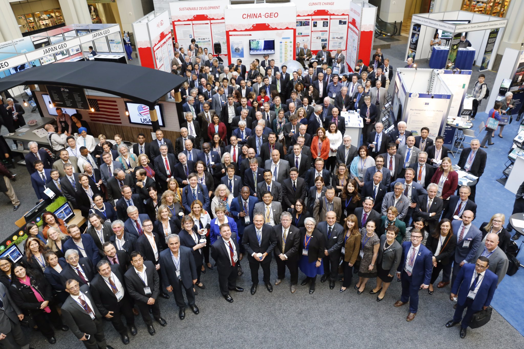
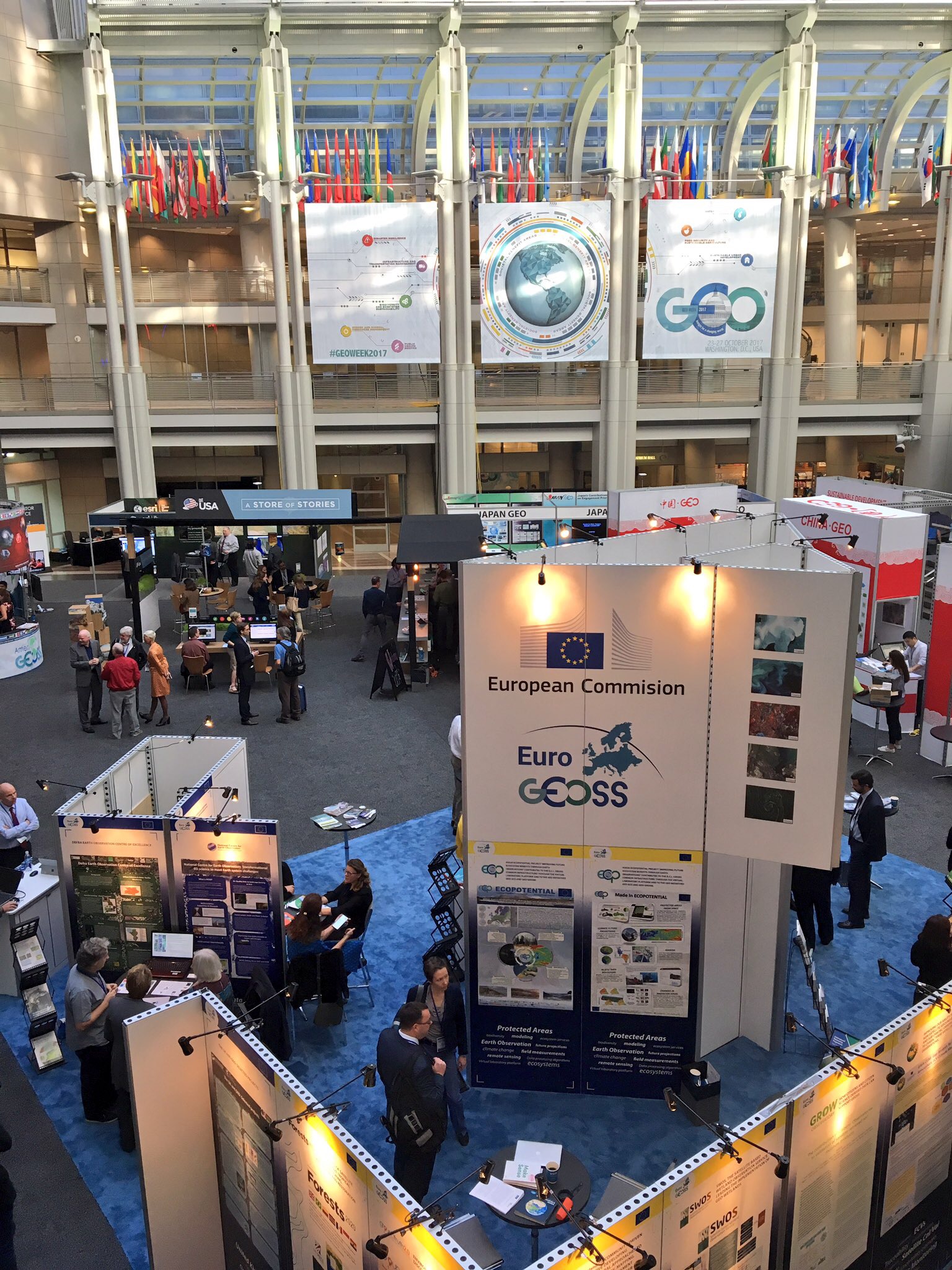
Last 23-27 October, the Group on Earth Observation (GEO) community came together at the Ronald Reagan Building in Washington, DC. to hold the 14th Group on Earth Observation plenary.
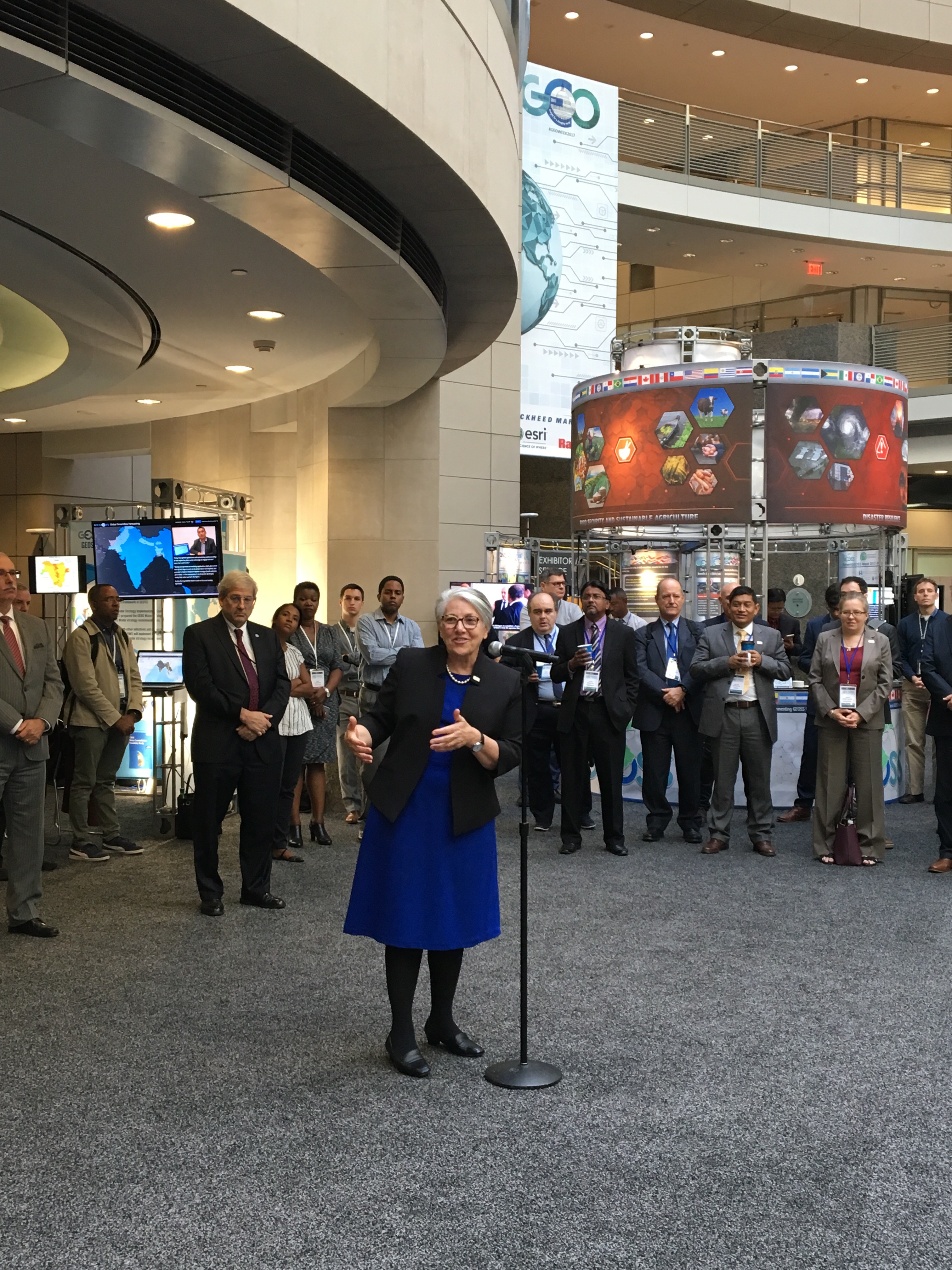
About 700 people in attendance met to discuss the importance of making Earth observations data available and more readily accessible. “We are moving from a data-centric approach to a user-centric approach” highlighted GEO Secretariat director, Barbara Ryan, during the opening of the plenary. “It’s about closing the gap between users and providers”.
GEO is a partnership of more than 100 national governments, 100 participating organizations and the European Commission. GEO implements the GEOSS, the global Earth observation system of systems. It envisions a future where decision and measures for the benefit of humankind are informed by coordinated, comprehensive and sustained Earth Observation. To implement this vision, GEO has divided the world into five regional areas. Europe is one of them and EuroGEOSS is the framework to combine the contributions of European GEO members.
In order to support GEOSS, the EuroGeoSurveys Earth Observation and Geohazards Expert Group (EO EG) is leading one GEO Community Activity on Earth Observations for GeoHazards, land degradation and environmental monitoring included in the GEO Work Programme.
The EO EG is also working on updating an European landslide inventory as well as creating an European landslide density map. This dataset is available to the public, scientific institutions and the broad spectrum of geoscience and risk management organisations. In addition, the group focuses on using Copernicus data for geological and anthropogenic hazard mapping such as landslide and subsidence dynamics, soil degradation and contamination. The EGS EO EG is currently working towards an implementation of future ground motion Copernicus services pushing the involvement of Geological Surveys in such processes.
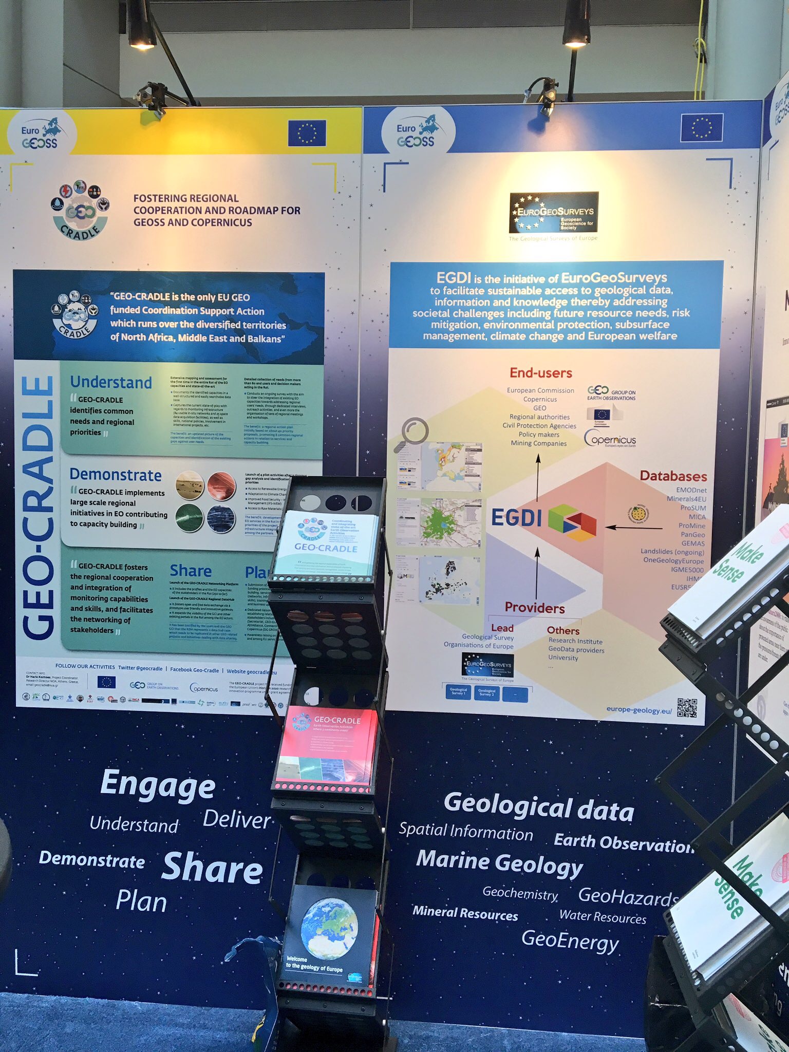
Underscoring the importance of Earth observations, EuroGeoSurveys’ biggest achievement in support to GEOSS is the operational portal of the European Geological Data Infrastructure (EGDI). Data from 13 projects and from thousands of national datasets are already available in a common platform with more than 600 data layers, covering harmonised spatial information such as onshore and offshore geology, mineral and energy resources, geohazards, geochemistry or soil and groundwater. Such data have high relevance to the Earth Observation community and they can serve as validation or ground truth data. The EGS Spatial Information Expert Group has been working on further data harmonisation to create pan-European data with integrated metadata. Other databases delivered under EGDI and European projects are: OneGeologyEurope onshore surface geological map (1:1M), EMODnet offshore maps (several geological themes), Minerals4EU mineral production figures, mineral occurrences, and mine waste, ProSUM – information on mine waste, Geochemistry (GEMAS) of grazing land and agricultural soil (point data), MICA – how to obtain minerals information from the various databases developed with the aid of European funding, ProMine pan-European maps (e.g. Gravimetric, Magnetic), PanGeo and TerraFirma ground instability and ground motion, Soil Regions from the EUSR5000 project (1:5M), Hydrogeological Map of Europe from the IHME project (1:1,5M), Geochemistry (GEMAS) of grazing land and agricultural soil (point data)and IGME5000 onshore and offshore surface geological maps (1:5M) (Find out more information about EGS activities by clicking here).
The high level of cooperation between participating organisations, speakers, sponsors, exhibitors and the wonderful management of side events/plenary carried out by the GEO Secretariat made this 14th edition successful!